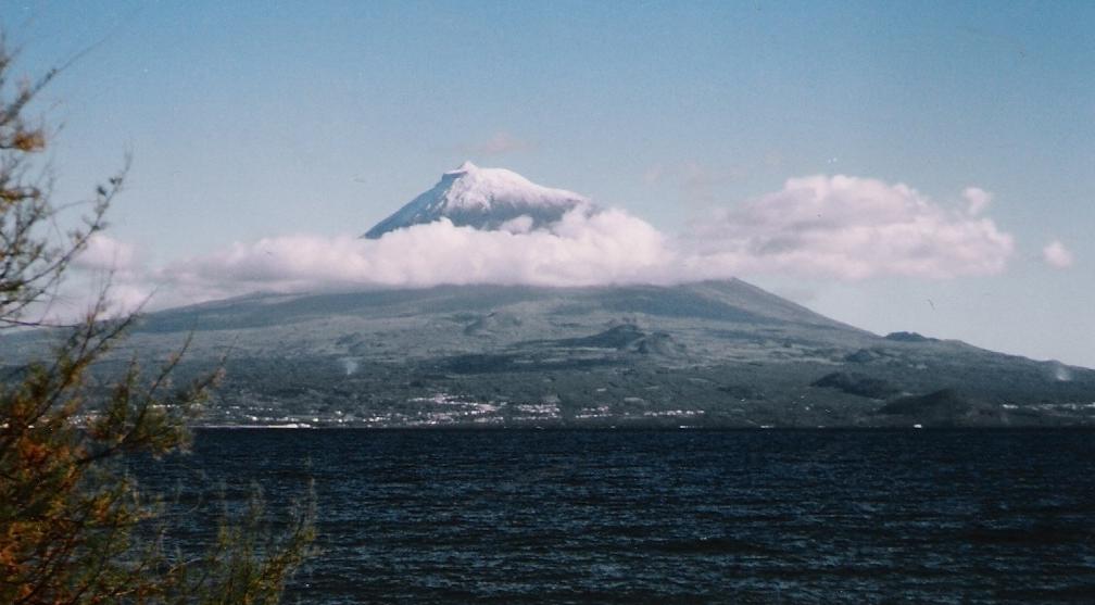

Pico’s volcanic terrain supports walking that teaches judgment as well as endurance. The mountain and vineyard landscape offer different routes, both shaped by exposure and stone.
A useful guide explains surface, cloud, wind, pace and turning points, then invites you to make a small observation or route decision. Following silently can be safe guiding, but it provides less transferable learning. Summit success is never guaranteed and should not be sold as the only worthwhile outcome.
Pico Mountain reaches 2,351 metres, the highest point in Portugal. The official route is difficult, about 7.6 kilometres return and begins at the Mountain’s House. Access requires prior registration or a reservation; the official system also issues tracking equipment to each visitor. Check the current access rules and weather close to the day even when you are joining a guide.
The route description should give distance, ascent, terrain, group ratio and required equipment. It should also explain cancellation, turnaround rules and the fallback plan.
In the vineyard landscape, interpretation can connect stone walls, exposure and cultivation. For rural-skills tuition, choose an authorised seasonal task led by a grower.
What we checked
Sources behind the local details
We used these sources for local history, geography and cultural context. Opening times, access and programmes can change, so confirm current details with the venue or host. Sources checked on 19 August 2026.